Porter County is three different pieces of ground stacked north to south, and a contractor who treats it as one county will be wrong two times out of three. The lakeshore at Portage and the dune towns is loose sand. The middle of the county, where Valparaiso sits, is the Valparaiso Moraine: real hills by Indiana standards, heavy clay, and close to three hundred feet of rise and fall between the beach and the high ground out on the LaPorte County line. The southern townships around Hebron and Kouts are the old Kankakee marsh, flat as a table, clean sand under a skin of muck. Same county, three different jobs, and the transitions are abrupt rather than gradual.
The moraine is the part people underestimate. The clay up there is Ozaukee, not the Morley that gets quoted for it, and it carries a dense layer starting somewhere between two and four feet down that holds water above itself. That is why moraine ground can look bone dry at the surface and be saturated a foot and a half in, and why a machine that walked in clean on Tuesday is buried on Thursday. Deeper still there are saturated sand and gravel bodies running through the till, and where the clay meets saturated sand the ground turns unstable in a cut, which the county soil survey flags in its own engineering tables. On anything deep, a full basement, a large retention pond, a footing that has to carry real load, the borings need to go well below the bottom of the planned hole rather than down to it. That is not caution for its own sake, it is the specific way jobs fail on this moraine.
North of the moraine the ground turns to sand and the rules invert. Along the lake through Portage, Porter, Chesterton and the dune towns the material runs better than ninety percent sand, which digs easily and stands not at all. Trench walls there are a shoring question at any depth, never a judgment call. Ponds are the other surprise, because that sand will not hold water on its own: a pond up there is either dug down to meet the water table or built with a clay key brought in. And two hundred feet from a sand ridge you can be standing on sixteen to fifty inches of muck over sand in an old interdunal swale with water sitting at the surface, and in the closed bogs off those swales it runs deeper still. That is a third job again on the same property.
South of the divide the county flattens onto the Kankakee plain, and the flats along the southern edge have roughly forty feet of fall across the entire belt. Nothing down there drains by accident. Every bit of it was ditched and tiled in the early nineteen hundreds and it has been maintained by machine ever since. The ground is a veneer of muck over clean sand, so a pad or a footing means undercutting the organic material and building back in compacted lifts, and dewatering is the working assumption rather than the exception. There is also undocumented field tile through most of it, and cutting one is a legal problem as much as a hydraulic one.
Two things worth knowing before any drainage work here. Porter publishes its legal drains as a public map layer, which is more than most counties offer, so the first question, whether the ditch on your place is a regulated drain, can usually be answered before anybody drives out. If it is one, the corridor around it is wider than people picture, and the width itself depends on when the drain was established and whether it sits in a platted subdivision, so we look up the number for that drain rather than quoting a ceiling. The board can narrow that on newer and urban drains, which is worth checking rather than assuming. Either way, a rural Porter County job has good odds of touching that easement. We plan around the surveyor's office rather than discovering it in week three. The second is a piece of geography that turns out to matter: the divide runs a couple of miles south of Valparaiso, so water at the city goes north to Lake Michigan by way of Salt Creek, the east arm of the Little Calumet and the Portage-Burns Waterway, while ground a few miles down the road is headed for the Kankakee and eventually the Gulf. The divide between water headed north to Lake Michigan and water headed south to the Kankakee runs along the Valparaiso Moraine. North of it the ground drops hard toward the lake plain. South of it the fall is slight the whole way to the Kankakee, which sits near six hundred fifty feet at Dunns Bridge. Which side you are on changes how much fall there is to work with.
Nobody drew Porter County onto our coverage. Valparaiso, the Chesterton side and the Kouts and Hebron country put the work in front of us first, and the map followed. We are not going to pretend there is a crew parked on Lincolnway. What this brand actually provides is an hour of the night when somebody still picks up, a scope written plainly, a price that does not move after the machine arrives, and an operator who was checked before he ever pulled onto your property.
Porter's rules are their own animal, and they are stricter than the neighbors in the places that cost money. The county holds new development to thirteen hundredths of a cubic foot per second per acre at each outlet and asks for a twenty foot maintenance route the whole way around a stormwater facility. On swales, ditches and overland flow paths it wants two feet of freeboard between the hundred year water surface and the lowest adjacent opening, with side slopes no steeper than three to one. It prohibits soil disturbance and removal of ground vegetation or tree roots within seventy-five feet of the ordinary high water mark of a lake or stream, or within twenty-five feet of a regulated wetland, unless the plan commission approves it, it can require a buffer wider than that, and nothing goes inside the buffer, not a structure, not a drive, not a basin. Topography is expected as surveyed one foot contours on the property itself, with the county lidar accepted only for the fifty foot ring outside the boundary. The basin geometry section is missing from the manual the county has posted, so we confirm basin freeboard and side slopes with them rather than assume. Worth knowing about the water too, because the contrast inside this one county surprises people: the Kankakee at Dunns Bridge drains better than thirteen hundred square miles and has never peaked above about four and a third cubic feet per second for each of them in seventy-seven years of record, while the Little Calumet at Porter, on sixty-six square miles, has hit better than eighty. The big flat river is the tame one here. The small moraine streams are the flashy ones.
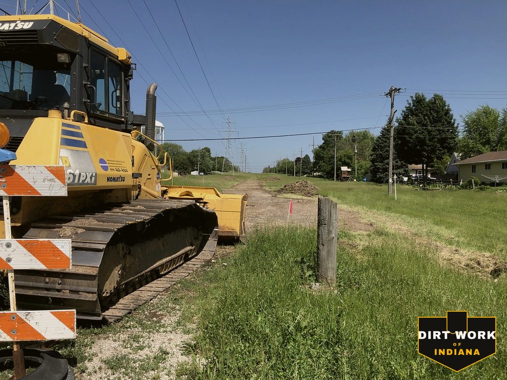
Every service, county-wide
Common Porter County projects
Pond building and repair on the moraine clay, barn and structure demolition with the debris hauled off, building pads that have to be undercut through muck on the Kankakee plain, drainage and regrades on perched moraine ground, lane and driveway work through sand, and land clearing on the acreages between Valparaiso and Kouts.